


What HB 48 is
House Bill 48 is Utah’s wildfire preparedness law focused on the Wildland Urban Interface, the places where homes meet undeveloped land. That is SunCrest. The goal is to lower wildfire risk through education, prevention, and property level improvements, not to add penalties.
What the state map says about SunCrest
Utah’s Wildfire Risk Assessment Portal (UWRAP) shows relative wildfire threat across the state. SunCrest trends higher than the valley because of slope, vegetation, and proximity to open space. UWRAP is not the HB 48 fee map, but it uses similar inputs and helps explain why our area is part of the conversation.
What Draper City has and has not done
Draper City has adopted the Wildland Urban Interface (WUI) Code. In plain terms, this is a set of fire safety standards for homes near wildland areas. Think fire resistant roofing and siding, ember resistant vents, and keeping vegetation trimmed back. It is about smarter design and maintenance for high risk areas like ours.
Next step at the city level is defining the local WUI boundary where those standards apply and coordinating with the state program.
State high risk boundary and timeline
The State of Utah is finalizing a High Risk Wildland Urban Interface Boundary. This state map is what determines where HB 48 applies and where fees are collected.
- Map expected by January 1, 2026
- Only homes inside the final state boundary are subject to HB 48 fees
- Boundary is based on vegetation, slope, ember exposure, and housing density
Until the state map is final, no one can say for sure if a specific SunCrest property is included.
About the fee and where it goes
Homes inside the future state boundary may see a small annual fee of about $20 to $100 starting in 2026 to 2027. The amount is based on the square footage of the home. This is not a penalty. It funds the statewide work that happens before a fire, such as mapping, software, assessments, and homeowner education.
Where the fee goes
- Maintaining the state high risk wildfire map and data systems
- Training and certifying wildfire assessors
- Supporting local cities and counties with prevention projects
- Public education tools such as UWRAP
By 2028, fees shift to property specific amounts that reflect each lot’s wildfire risk rating. Both the map and fee structure are still being developed.
Home assessments
Once the program is live, homeowners can request a Wildfire Mitigation and Defensible Space Assessment. Certified evaluators look at vegetation, roofing and vents, decks and fences, and defensible space. If you already had Draper City out, that is a good start, but a new assessment will be required once the HB 48 program begins since only certified state assessors can complete them.
How this impacts insurance
Insurance carriers will use the state’s High Risk Wildland Urban Interface Boundary when labeling a property as high risk for wildfire. They can still use their own tools to set rates and coverage, but this map becomes a shared reference point statewide.
Carriers must explain any rate increases over 20 percent or decisions to drop coverage. If that happens, you can contact the Utah Insurance Department to ask for a review.
Wildfire risk may become a clearer factor in pricing, so it is smart to review your coverage now and keep records of any mitigation work you complete.
Timeline snapshot
| Year | What is happening |
|---|---|
| Now to 2025 | State finalizes mapping and rules |
| Jan 1, 2026 | State releases high risk boundary map |
| 2026 to 2027 | Draper finalizes local boundaries and begins assessments |
| 2028 | Fee collection begins for homes inside the state boundary |
What you can do now
- Check your home’s risk on UWRAP
- Create defensible space by clearing or trimming vegetation within 5 to 30 feet of your home
- Watch for Draper City updates on boundaries, assessments, and schedules
- Review your insurance policy and confirm wildfire coverage
Disclaimer
These are my personal notes and are provided for informational purposes only. Please verify details, timelines, and requirements with Draper City or the Utah Division of Forestry, Fire, and State Lands.


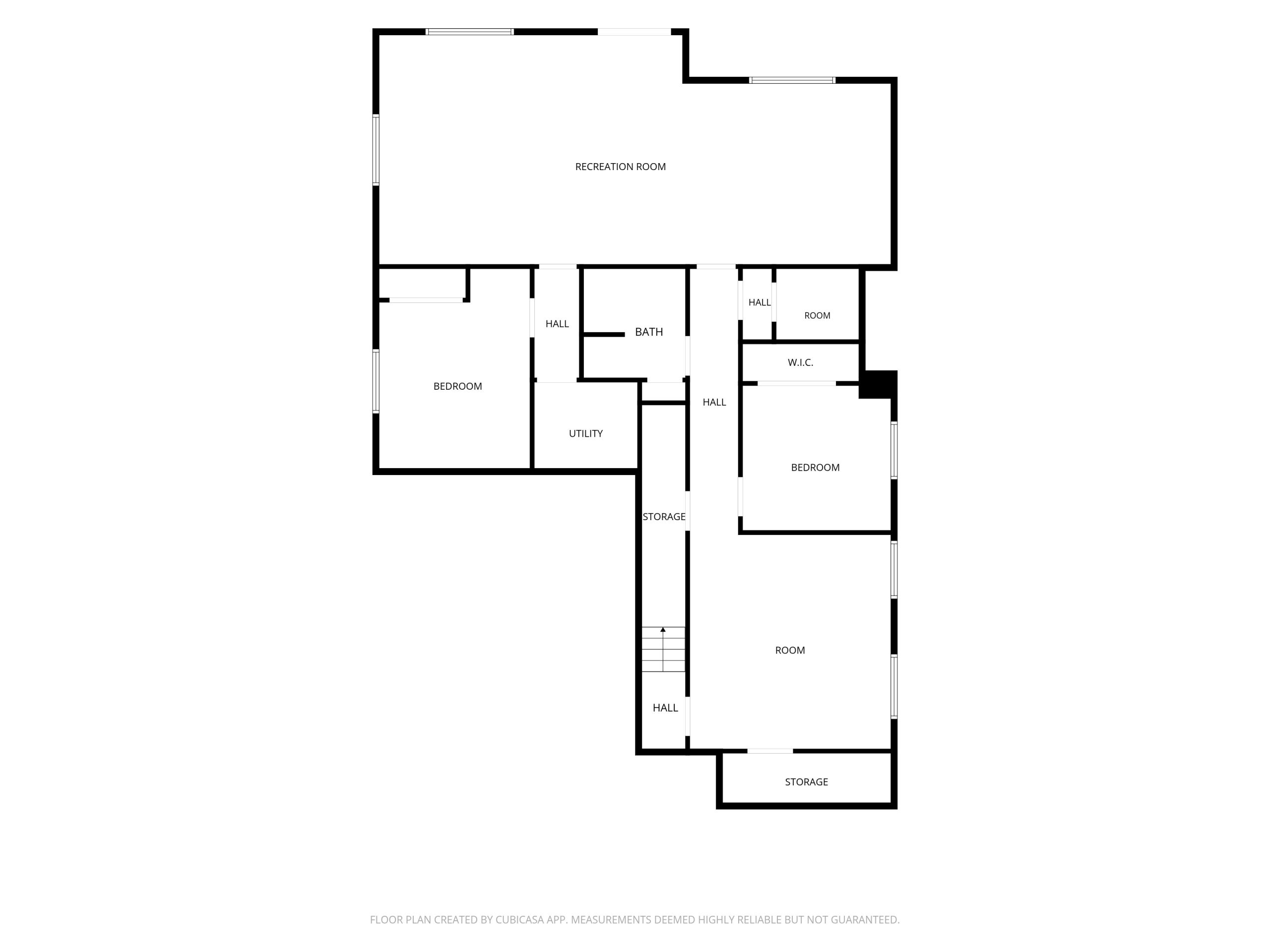
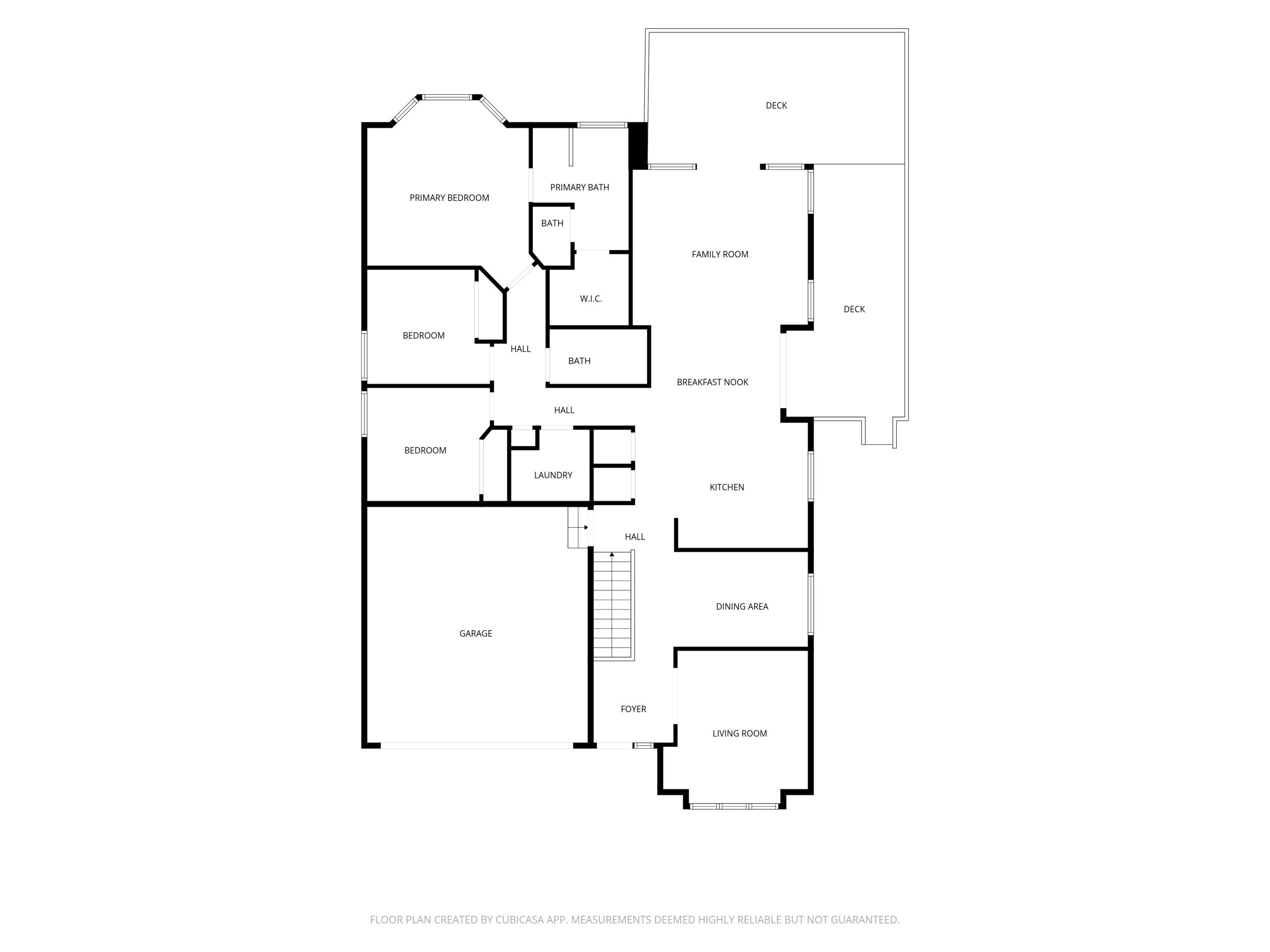
Here in SunCrest, some homes come with views that stop you mid-sentence. This is one of them. Perched high above the valley floor on Winged Bluff Lane, this home sits with views that are genuinely hard to explain until you're standing in front of them. Timpanogos to the south, Lone Peak to the north, Box Elder rising dead center in the frame like it was placed there on purpose. Spring snowmelt, summer alpenglow, fall color bleeding down the ridgelines, winter peaks stacked white against a blue sky. There's no bad season from this backyard.
Frankly, there's rarely a bad hour. Inside, the bones are solid. The main floor lives with you, not against you, and the layout keeps pulling you toward the back of the home where those windows are. It's the kind of floorplan that was right when it was built and is still right today. Open enough to live in, defined enough to feel intentional. Upstairs, the primary suite is spacious and private, with room to make it exactly what you want. The bathroom is already set up the way it should be: separate soaking tub, walk-in shower, dual vanities.